
FSWidgets Navigator for iOS
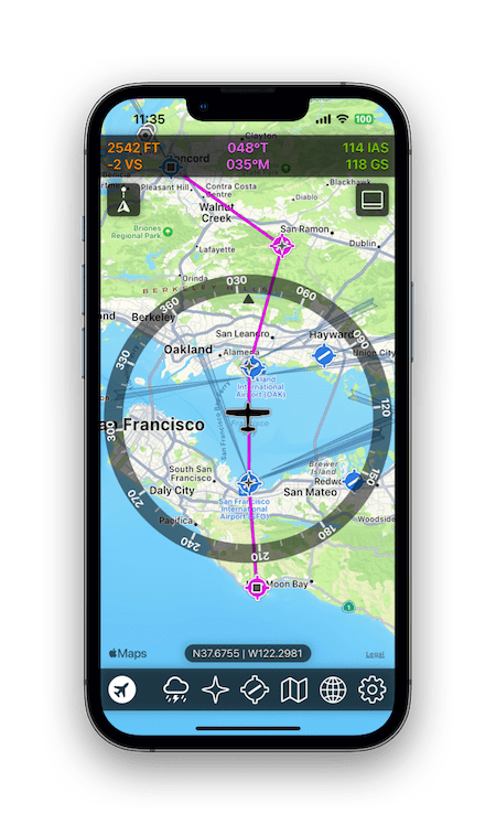
Moving Map for Aerofly FS.
Built with Apple Maps
Base maps with world-wide coverage in various styles including roads and satellite.
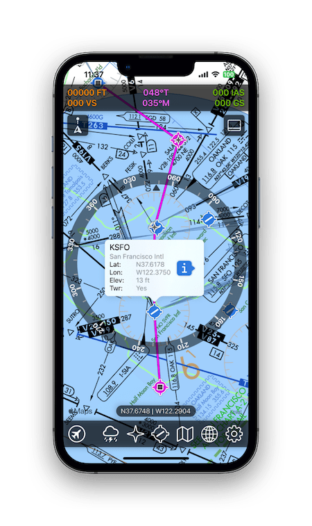
Aero Charts
Comes with a large bonus collection of aero charts covering a huge area of the globe, including VFR and IFR.
Nav Data
World Nav Data, implemented as map icons that open when selected to display realted information.
FSWidgets Navigator for iOS is available on the App Store
GMapHD for Windows
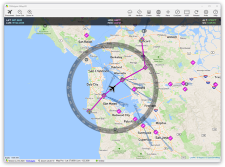
Moving Map for Aerofly FS.
World-wide Maps
Base maps with world-wide coverage in various styles including roads, terrain, satellite, light and dark.
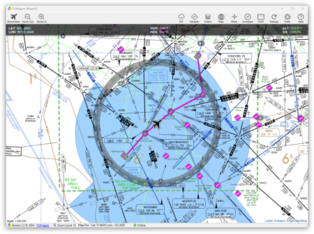
Aero Charts
Comes with a large bonus collection of aero charts covering a huge area of the worlds surface, including VFR and IFR.
Nav Data
World Nav Data, implemented as map icons that open when selected to display realted information.
GMapHD for Windows free demo (KSFO area)
iGMapHD for Mac
Moving Map for Aerofly FS.
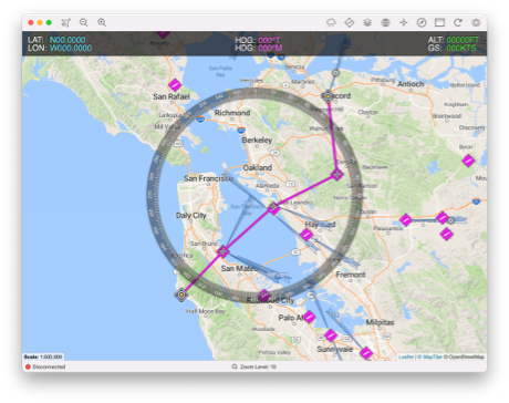
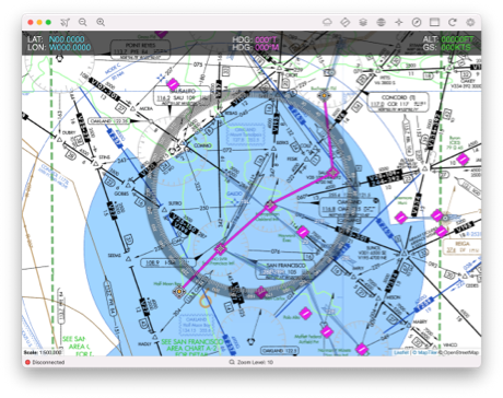
World-wide Maps
Base maps with world-wide coverage in various styles including roads, terrain, satellite, light and dark.
Aero Charts
Comes with a large bonus collection of aero charts covering a huge area of the worlds surface, including VFR and IFR.
Nav Data
World Nav Data included, implemented as map icons that open when selected to display realted information.
iGMapHD for Mac free demo (KSFO area)
How to Connect
Aerofly FS (iOS, Android, Windows, macOS & Linux) comes with native, built-in support for FSWidgets apps - no plugins required!
Go to Aerofly Settings Miscellaneous, turn on the Send flight data to FSWidgets apps option
("Broadcast" settings not required).
Go to FSWidgets app, in the Settings add the local IP Address of the desktop/device running the simulator & enter the port number 58585.
In the FSWidgets app, select the Connect button (plane icon). The app should now connect and show your current position.